 English
  Italiano
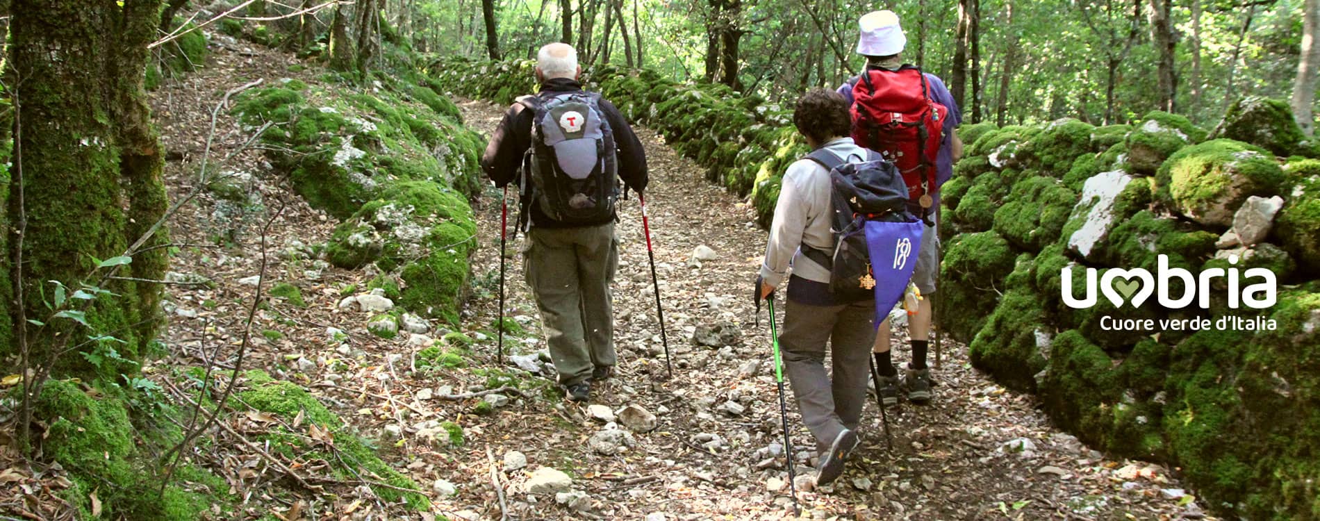
Download
Download all information that may be useful when tackling the Walk of the Franciscan Protomartyrs
Brochure of the Way of the Franciscan Proto-martyrs
The Way is divided into six legs from Terni to Terni
The map accompanies the pilgrim to Franciscan places, providing a description of the tourist route, distances, walking times and suggestions of the main places to visit.
The journey by foot in Umbria is a leisurely way to get to know people, the monuments and the works of art that have been nourished by the same lifeblood of the Poor Man of Assisi and the Proto-martyrs saints.

GPX and KML official tracks of the Way of the Franciscan Proto-martyrs
If you want to walk with the aid of a navigator for trekking or a smartphone (App dedicated to the outdoors), we advise you to download the GPX and KML tracks of the legs of the journey along the Way of the Franciscan Proto-martyrs.
Download KML | GPX - Stage 1 from Terni to Stroncone
Download KML | GPX - Stage 2 from Stroncone to Calvi
Download KML | GPX - Stage 3 from Calvi to Narni
Download KML | GPX - Stage 4 from Narni to Sangemini
Download KML | GPX - Stage 5 from Sangemini to Cesi
Download KML | GPX - Stage 6 from Cesi to Terni
Download KML | GPX - Stage 2 from Stroncone to Calvi
Download KML | GPX - Stage 3 from Calvi to Narni
Download KML | GPX - Stage 4 from Narni to Sangemini
Download KML | GPX - Stage 5 from Sangemini to Cesi
Download KML | GPX - Stage 6 from Cesi to Terni

Official maps of the Way of the Franciscan Proto-martyrs
We recommend that you always take the map of the stages of the Walk of the Franciscan Protomartyrs with you
Download MAP | A3 - 22 MB - Stage 1 from Terni to Stroncone
Download MAP | A3 - 36 MB - Stage 2 from Stroncone to Calvi
Download MAP | A3 - 36 MB - Stage 3 from Calvi to Narni
Download MAP | A3 - 34 MB - Stage 4 from Narni to Sangemini
Download MAP | A3 - 20 MB - Stage 5 from Sangemini to Cesi
Download MAP | A3 - 9,7 MB - Stage 6 from Cesi to Terni
Download MAP | A3 - 36 MB - Stage 2 from Stroncone to Calvi
Download MAP | A3 - 36 MB - Stage 3 from Calvi to Narni
Download MAP | A3 - 34 MB - Stage 4 from Narni to Sangemini
Download MAP | A3 - 20 MB - Stage 5 from Sangemini to Cesi
Download MAP | A3 - 9,7 MB - Stage 6 from Cesi to Terni